| ©The Archaeological Settlements of Turkey - TAY Project | ||||||
|
|
||||||
Çukurköy |
||||||
|
|
||||||
| Ages | Maps | Photos | ||||
| EBA |
 |
 |
||||
|
|
||||||
|
Type:
|
Mound | |||||
|
Altitude:
|
765 m | |||||
|
Diameter:
|
m- Direction: | |||||
|
|
||||||
|
Region:
|
Aegean | |||||
|
Province:
|
Denizli | |||||
|
District:
|
Merkez | |||||
|
Village:
|
Cankurtaran | |||||
|
|
||||||
|
Destruction :
|
Other - Highways, roads, bridges etc. - Contemporary Settlements - Agriculture - Attention | |||||
|
|
||||||
|
TAYEx:
|
Visited - 20/7/2004 | |||||
|
|
||||||
|
Registration State:
|
Registered For detailed registration information please refer to Turkish pages. | |||||
 |
||||||
| Location: |
| Geography and Environment: |
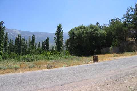
| Destruction Details: The western section of the mound was truncated by an asphalt road. Its surface was leveled in order to use for agricultural activities. On the eastern part are a tomb and cemetery area. A farm building was constructed on the southeastern part [TAYEx 20.7.2004]. |