|
©The Archaeological Settlements of Turkey - TAY Project
|
|
|
|
|
|
Çukurköy |
|
|
For site maps and drawings please click on the picture...  |
For photographs please click on the photo... 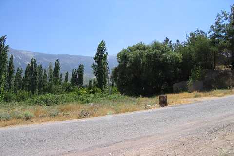 |
|
Type:
|
Mound |
|
Altitude:
|
765 m |
|
Region:
|
Aegean |
|
Province:
|
Denizli |
|
District:
|
Merkez |
|
Village:
|
Cankurtaran |
|
Investigation Method:
|
Survey |
|
Period:
|
EBA II |
|
|
|
 |
|
| It lies in the location known as Teslim Tekkesi; 2.3 km northwest of Cankurtaran; on the passage from the Denizli Plain to the Tavas Plain; 15 km southeast of Denizli Province. It is indicated as an EBA II settlement by J. Mellaart. The mound appears in the Denizli Culture Inventory which was achieved after the surveys organized by the Denizli Province Culture and Tourism Directorship in 2011. It measures 100 m in southwest-northeast direction and 350 m in the northwest-southeast direction. Its height ranges from 10 m to 15 m. |
| Location: |
| Geography and Environment: |
| History: |
| Research and Excavation: |
| Stratigraphy: |
| Small Finds: |
| Remains: |
| Interpretation and Dating: |