| ©The Archaeological Settlements of Turkey - TAY Project | ||||||
|
|
||||||
Çörekdagi |
||||||
|
|
||||||
| Ages | Maps | Photos | ||||
| Chalcolithic |
 |
 |
||||
|
|
||||||
|
Type:
|
Slope Settlement | |||||
|
Altitude:
|
875 m | |||||
|
Diameter:
|
m- Direction: | |||||
|
|
||||||
|
Region:
|
Black Sea | |||||
|
Province:
|
Kastamonu | |||||
|
District:
|
Merkez | |||||
|
Village:
|
Çakilli | |||||
|
|
||||||
|
Destruction :
|
Illicit Digging | |||||
|
|
||||||
|
TAYEx:
|
Visited - 20/9/2003 | |||||
|
|
||||||
|
Registration State:
|
For detailed registration information please refer to Turkish pages. | |||||
 |
||||||
| Location: |
| Geography and Environment: |
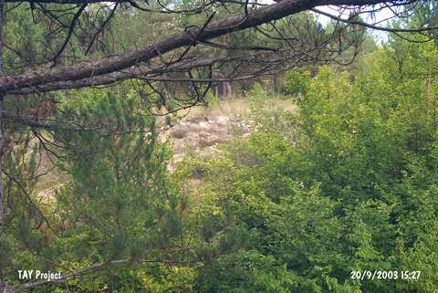
| Destruction Details: An illicit digging pit measuring 11 m in width was observed on the settlement [TAYEx 20.9.2000]. |