|
©The Archaeological Settlements of Turkey - TAY Project
|
|
|
|
|
|
Çörekdagi |
|
|
For site maps and drawings please click on the picture...  |
For photographs please click on the photo... 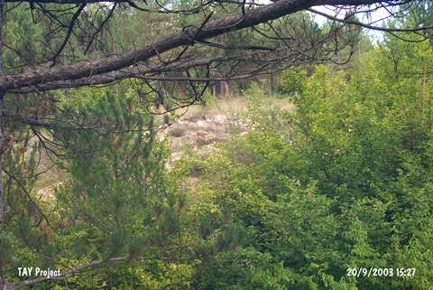 |
|
Type:
|
Slope Settlement |
|
Altitude:
|
875 m |
|
Region:
|
Black Sea |
|
Province:
|
Kastamonu |
|
District:
|
Merkez |
|
Village:
|
Çakilli |
|
Investigation Method:
|
Survey |
|
Period:
|
|
|
|
|
 |
|
| The site is located about 75 m east of the road between Haci Osman and Çal quarters; 1.5 km southeast of Çal Mahallesi of Çakilli village of Merkez district of the city of Kastamonu. The hill is covered with pine trees and to its west-northwest is the water spring of Aksu. It was discovered during the Kastamonu Survey conducted by A. Özdogan; C. Marro; A. Tibet in 1996. Ceramics; dating to the Chalcolithic Age / Early Bronze Age 1; were collected from the surface. The location code of the site is C 31 / 11. |
| Location: |
| Geography and Environment: |
| History: |
| Research and Excavation: |
| Stratigraphy: |
| Small Finds: |
| Remains: |
| Interpretation and Dating: |