| ©The Archaeological Settlements of Turkey - TAY Project | ||||||
|
|
||||||
Çorum |
||||||
|
|
||||||
| Ages | Maps | Photos | ||||
| EBA |
 |
 |
||||
|
|
||||||
|
Type:
|
Mound | |||||
|
Altitude:
|
915 m | |||||
|
Diameter:
|
162 m- Direction: NNE-SSW | |||||
|
|
||||||
|
Region:
|
Mediterranean | |||||
|
Province:
|
Denizli | |||||
|
District:
|
Acipayam | |||||
|
Village:
|
Corum | |||||
|
|
||||||
|
Destruction :
|
Illicit Digging - Agriculture | |||||
|
|
||||||
|
TAYEx:
|
Visited - 20/7/2004 | |||||
|
|
||||||
|
Registration State:
|
Registered For detailed registration information please refer to Turkish pages. | |||||
 |
||||||
| Location: |
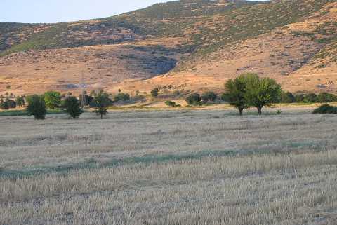
| Geography and Environment: |
| Destruction Details: The skirts of the mound have been cut in order to make way for fields. On the upper part is an illicit digging pit that was dug as a tunnel [TAYEx 20.7.2004]. |