|
©The Archaeological Settlements of Turkey - TAY Project
|
|
|
|
|
|
Çorum |
|
|
For site maps and drawings please click on the picture...  |
For photographs please click on the photo... 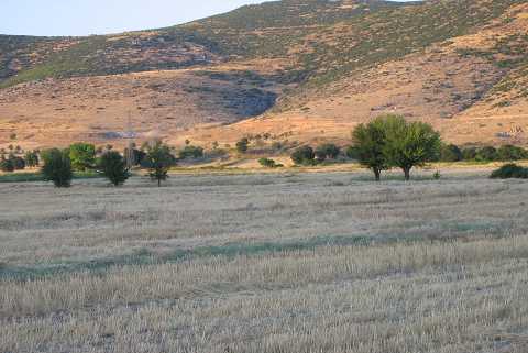 |
|
Type:
|
Mound |
|
Altitude:
|
915 m |
|
Region:
|
Mediterranean |
|
Province:
|
Denizli |
|
District:
|
Acipayam |
|
Village:
|
Corum |
|
Investigation Method:
|
Survey |
|
Period:
|
EBA II |
|
|
|
 |
|
| It is close to the foothill of the Mali Mountain with an altitude of 1873 m; 1 km northwest of the village of Çorum; 3 km northeast of Karahöyük; northeast of Acipayam; southeast of Denizli Province. tı the west-northwest is the freshwater spring called Pinarbasi. Researchers indicated that the mound yielded a very regular stratification. Pottery of the Chalcolithic Age; the EBA (Kusura B ware); the Phrygian and Hellenistic Periods was recovered from the surface. J. Mellaart identifies it as an EBA II settlement. It takes place in the registered archaeological sites list prepared by Ministry of Culture and Tourism. |
| Location: |
| Geography and Environment: |
| History: |
| Research and Excavation: |
| Stratigraphy: |
| Small Finds: |
| Remains: |
| Interpretation and Dating: |