| ©The Archaeological Settlements of Turkey - TAY Project | ||||||
|
|
||||||
 |
Van Kalesi |
|||||
|
|
||||||
| Ages | Maps | Photos | ||||
| IA |
 |
 |
||||
|
|
||||||
|
Type:
|
Fortress | |||||
|
Altitude:
|
m | |||||
|
Diameter:
|
m- Direction: | |||||
|
|
||||||
|
Region:
|
Eastern Anatolia | |||||
|
Province:
|
Van | |||||
|
District:
|
Merkez | |||||
|
Village:
|
Merkez | |||||
|
|
||||||
|
|
||||||
|
|
||||||
|
TAYEx:
|
- | |||||
|
|
||||||
|
Registration State:
|
For detailed registration information please refer to Turkish pages. | |||||
  |
||||||
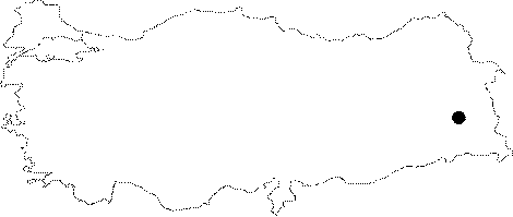
| Location: Tushpa, the capital of the Urartian Kingdom located at the center of Van is known as the Van Fortress. |
| Geography and Environment: It is situated on the steep Van rocks rising at the center of the Van Plain. Eocene calcareous rocks are approximately 1.5 km long in east-west direction. It measures 70-80 m in north-south in direction, and 100 m in height. |
| Destruction Details: |

