| ©The Archaeological Settlements of Turkey - TAY Project | ||||||
|
|
||||||
Sirinlikale |
||||||
|
|
||||||
| Ages | Maps | Photos | ||||
| IA |
 |
 |
||||
|
|
||||||
|
Type:
|
Fortress | |||||
|
Altitude:
|
m | |||||
|
Diameter:
|
m- Direction: | |||||
|
|
||||||
|
Region:
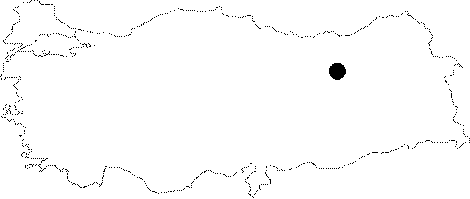
|
Eastern Anatolia | |||||
|
Province:
|
Erzincan | |||||
|
District:
|
Tercan | |||||
|
Village:
|
Konarli | |||||
|
|
||||||
|
|
||||||
|
|
||||||
|
TAYEx:
|
- | |||||
|
|
||||||
|
Registration State:
|
For detailed registration information please refer to Turkish pages. | |||||
 |
||||||
| Location: It lies 50 km southeast of the Tercan District in Erzincan. It can be accessed through the road from Tercan to Çat. Kurukol and Yalinkaya villages are reached after Karasu. And, after Yaylayolu, Göktas and Besgöze villages comes Tuzluçay. Sirinkale rises on the bank of the Sihköy Stream bank which flows parallel to Tuzluçay. |
| Geography and Environment: The hill on which the fortress stands with a rocky top and the east and south sides being 50 m high above the river bed descends down to a steep cliff, which provides a natural protection on the southwest. |
| Destruction Details: |