| ©The Archaeological Settlements of Turkey - TAY Project | ||||||
|
|
||||||
Limyra |
||||||
|
|
||||||
| Ages | Maps | Photos | ||||
| IA |
 |
 |
||||
|
|
||||||
|
Type:
|
City | |||||
|
Altitude:
|
m | |||||
|
Diameter:
|
m- Direction: | |||||
|
|
||||||
|
Region:
|
Mediterranean | |||||
|
Province:
|
Antalya | |||||
|
District:
|
Finike | |||||
|
Village:
|
Turunçova | |||||
|
|
||||||
|
|
||||||
|
|
||||||
|
TAYEx:
|
- | |||||
|
|
||||||
|
Registration State:
|
Registered For detailed registration information please refer to Turkish pages. | |||||
 |
||||||
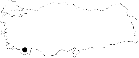
| Location: It was a port city founded on the plain of the southern skirt of the Mount Toçak, 4 km northeast of the Finike District in Antalya. |
| Geography and Environment: |
| Destruction Details: |