| ©The Archaeological Settlements of Turkey - TAY Project | ||||||
|
|
||||||
Çardak |
||||||
|
|
||||||
| Ages | Maps | Photos | ||||
| EBA |
 |
 |
||||
|
|
||||||
|
Type:
|
Mound | |||||
|
Altitude:
|
190 m | |||||
|
Diameter:
|
m- Direction: | |||||
|
|
||||||
|
Region:
|
Marmara | |||||
|
Province:
|
Bursa | |||||
|
District:
|
Yenisehir | |||||
|
Village:
|
Çardak | |||||
|
|
||||||
|
Destruction :
|
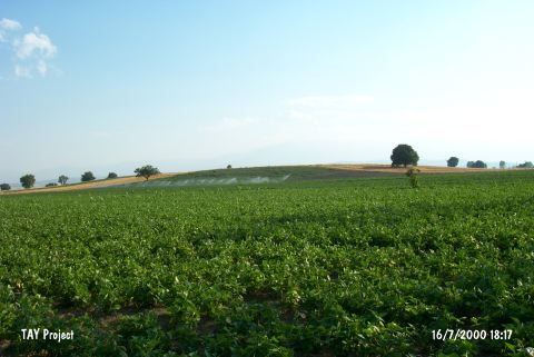
Agriculture | |||||
|
|
||||||
|
TAYEx:
|
Visited - 16/7/2000 | |||||
|
|
||||||
|
Registration State:
|
Registered For detailed registration information please refer to Turkish pages. | |||||
 |
||||||
| Location: |
| Geography and Environment: |
| Destruction Details: The western and southern sections of the mound have been terraced and leveled. The upper parts are also being planted [TAYEx 16.7.2000]. |