| ©The Archaeological Settlements of Turkey - TAY Project | ||||||
|
|
||||||
Çamharman |
||||||
|
|
||||||
| Ages | Maps | Photos | ||||
| EBA |
 |
 |
||||
|
|
||||||
|
Type:
|
Mound | |||||
|
Altitude:
|
1190 m | |||||
|
Diameter:
|
m- Direction: | |||||
|
|
||||||
|
Region:
|
Mediterranean | |||||
|
Province:
|
Isparta | |||||
|
District:
|
Yalvaç | |||||
|
Village:
|
Çamharman | |||||
|
|
||||||
|
Destruction :
|
Agriculture | |||||
|
|
||||||
|
TAYEx:
|
Visited - 3/7/2001 | |||||
|
|
||||||
|
Registration State:
|
Registered For detailed registration information please refer to Turkish pages. | |||||
 |
||||||
| Location: |
| Geography and Environment: |
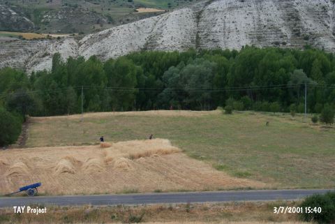
| Destruction Details: The mound is being damaged due to agricultural activities. It has been plowned and western section has been eroded by the steam flowing nearby [TAYEx 3.7.2001]. |