|
©The Archaeological Settlements of Turkey - TAY Project
|
|
|
|
|
|
Çamharman |
|
|
For site maps and drawings please click on the picture...  |
For photographs please click on the photo... 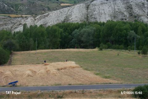 |
|
Type:
|
Mound |
|
Altitude:
|
1190 m |
|
Region:
|
Mediterranean |
|
Province:
|
Isparta |
|
District:
|
Yalvaç |
|
Village:
|
Çamharman |
|
Investigation Method:
|
Survey |
|
Period:
|
EBA II |
|
|
|
 |
|
| It lies 500 m northwest of Çamharman Village; 15 km northwest of Yalvaç District of Isparta Province. It was discovered by the staff of the Yalvaç Museum; and investigated during surveys conducted by M. Özsait in 1985-1986. The mound which is 2 m high above plain level has been damaged by the stream passing by the western side. EBA II pottery was collected from the surface. There are plenty of horizontally pierced and button-like lugs as well as sherds of ware with geometrically incised decoration. It takes place in the registered archaeological sites list prepared by Ministry of Culture and Tourism. |
| Location: |
| Geography and Environment: |
| History: |
| Research and Excavation: |
| Stratigraphy: |
| Small Finds: |
| Remains: |
| Interpretation and Dating: |