| ©The Archaeological Settlements of Turkey - TAY Project | ||||||
|
|
||||||
Çakirca |
||||||
|
|
||||||
| Ages | Maps | Photos | ||||
| EBA |
 |
 |
||||
|
|
||||||
|
Type:
|
Mound | |||||
|
Altitude:
|
135 m | |||||
|
Diameter:
|
m- Direction: | |||||
|
|
||||||
|
Region:
|
Marmara | |||||
|
Province:
|
Bursa | |||||
|
District:
|
Iznik | |||||
|
Village:
|
Çakirca | |||||
|
|
||||||
|
Destruction :
|
Agriculture - Contemporary Settlements - Highways, roads, bridges etc. | |||||
|
|
||||||
|
TAYEx:
|
Visited - 17/7/2000 | |||||
|
|
||||||
|
Registration State:
|
Registered For detailed registration information please refer to Turkish pages. | |||||
 |
||||||
| Location: |
| Geography and Environment: |
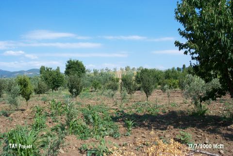
| Destruction Details: Olive trees have been planted on northern section of the mound. A narrow dirt road passes from the middle of it. A house is being build on the northern slope [TAYEx 17.7.2000]. It was revisited during the Iznik Survey performed by M. Sahin et al. in 2006, and it was found under threat by the plantations above the mound and the housing that started on the skirts, and approached the peaks of the hill [Sahin et al. 2008:12]. |