|
©The Archaeological Settlements of Turkey - TAY Project
|
|
|
|
|
|
Çakirca |
|
|
For site maps and drawings please click on the picture...  |
For photographs please click on the photo... 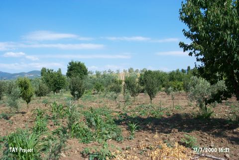 |
|
Type:
|
Mound |
|
Altitude:
|
135 m |
|
Region:
|
Marmara |
|
Province:
|
Bursa |
|
District:
|
Iznik |
|
Village:
|
Çakirca |
|
Investigation Method:
|
Survey |
|
Period:
|
EBA II EBA III |
|
|
|
 |
|
| It lies 2 km north of the Lake Iznik; south of the Iznik-Orhangazi motorway; 2 km east of Çakirca Village; about 5 km northwest of Iznik District. It measures 200x8 m. To the west flows Karasu Stream. It was discovered by K. Kökten in 1949; and also investigated by K. Bittel; J. Mellaart; J. Cullberg; D.H. French and M. Özdogan. Materials of the EBA and the second millennium BC. were collected from the surface. EBA pottery of the burnished ware tempered with grit and mica with a black interior surface and rim and red; brown or buff exterior surface was found. It is called Yenisehir pottery by D.H. French. It is also seen at Demircihöyük. Also found is the wheelmade; red burnished; washed; fine washed; washed ware and the gray washed ware dating from the EBA III. A sherd of a jug of which the bottom was decorated with a swastika was recovered. It takes place in the registered archaeological sites list prepared by Ministry of Culture and Tourism. |
| Location: |
| Geography and Environment: |
| History: |
| Research and Excavation: |
| Stratigraphy: |
| Small Finds: |
| Remains: |
| Interpretation and Dating: |