| ©The Archaeological Settlements of Turkey - TAY Project | ||||||
|
|
||||||
Can Hasan 3 |
||||||
|
|
||||||
| Ages | Maps | Photos | ||||
| Neolithic 14C |
 |
 |
||||
|
|
||||||
|
Type:
|
Mound | |||||
|
Altitude:
|
1140 m | |||||
|
Diameter:
|
m- Direction: | |||||
|
|
||||||
|
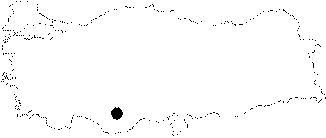
Region:
|
Central Anatolia | |||||
|
Province:
|
Karaman | |||||
|
District:
|
Merkez | |||||
|
Village:
|
Alaçati | |||||
|
|
||||||
|
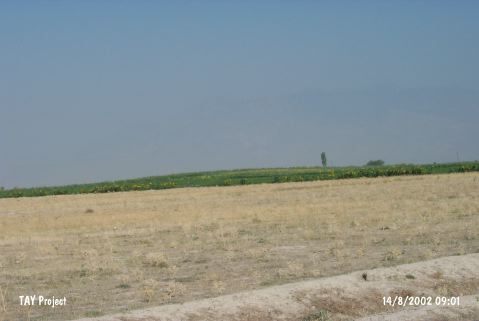
Destruction :
|
Agriculture | |||||
|
|
||||||
|
TAYEx:
|
Visited - 14/8/2002 | |||||
|
|
||||||
|
Registration State:
|
For detailed registration information please refer to Turkish pages. | |||||
 |
||||||
| Location: The site lies 12 km northeast of the city of Karaman in the Konya Plain and 1.5 km northwest of the village of Can Hasan. It is locally known as Kanaçyug. |
| Geography and Environment: The site of Can Hasan III; now a 6 m high mound with a 100 m diameter; was settled after the fluvial lake dried up. While only 2.25 m of the mound lies above the surrounding soil; 4.5 m of it lies beneath it. In addition; 2.5 m of the latter is beneath the current water table [French 1970a:148; French et al. 1972:182][Roberts 1991:14; 17]. The faunal remains found at Can Hasan III indicate that the site lay in an area with a dry and grassy vegetation and less likely along a lake or in a forested area. The carbonized fragments of tree [Wilcox 1978:7] suggest that although the climate was steppe; there were forested areas along the rivers and streams [Roberts 1991:20]. |
| Destruction Details: The mound has been damaged due to agricultural activities [TAYEx 14.8.2002]. |