| ©The Archaeological Settlements of Turkey - TAY Project | ||||||
|
|
||||||
Hamaylitarla / Buruneren |
||||||
|
|
||||||
| Ages | Maps | Photos | ||||
| Neolithic EBA |
 |
 |
||||
|
|
||||||
|
Type:
|
Workshop | |||||
|
Altitude:
|
0 m | |||||
|
Diameter:
|
m- Direction: | |||||
|
|
||||||
|
Region:
|
Marmara | |||||
|
Province:
|
Tekirdag | |||||
|
District:
|
Sarköy | |||||
|
Village:
|
Kizilcaterzi | |||||
|
|
||||||
|
Destruction :
|
Mines/Quarries - Agriculture - Attention | |||||
|
|
||||||
|
TAYEx:
|
Visited - 18/6/2000 | |||||
|
|
||||||
|
Registration State:
|
Registered For detailed registration information please refer to Turkish pages. | |||||
 |
||||||
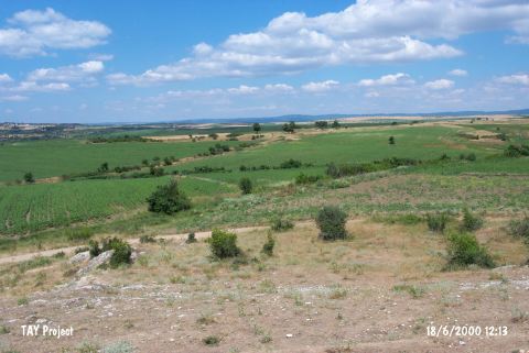
| Location: It lies next to an old limestone quarry; immediate north of the Kizilcaterzi-Kavakköy motorway; about 5 km east of Kizilcaterzi Village; some 14 km west of Sarköy District; Tekirdag Province. It is on the border of Sarköy and Gelibolu; on the slope of the mountains facing the Marmara Sea; in the lands of Buruneren Farm. It is 1 km southwest of the hill known as Tekke Tepe and consists of an atelier and a settlement located west of the area called "Limestone quarry" [Özbek 2000:1]. The limestone quarry begins from the slope of the mound and runs towards west parallel to the road. |
| Geography and Environment: There is a fresh water spring nearby the northern part of the atelier which overlooks the Marmara Sea. This water spring forms the stream that runs from the middle of the settlement and divides its surface into two portions. The atelier area measures 80x80 m and is at an altitude of 100 m. Some of the upper cultural layers were destructed due to the intense cultivation [Özbek 2000:1]. |
| Destruction Details: The settlement has the appearance of a mound leaning on the rocky hill where the limestone quarry is located. It is seriously damaged and its exact dimensions can not be determined. Besides the destruction caused by the limestone quarry; the mound is cut by the main road and a secondary road that passes nearby the quarry. Its surface is planted [TAYEx 18.6.2000]. |