| ©The Archaeological Settlements of Turkey - TAY Project | ||||||
|
|
||||||
Alisar |
||||||
|
|
||||||
| Ages | Maps | Photos | ||||
| EBA |
 |
 |
||||
|
|
||||||
|
Type:
|
Mound | |||||
|
Altitude:
|
710 m | |||||
|
Diameter:
|
m- Direction: | |||||
|
|
||||||
|
Region:
|
Eastern Anatolia | |||||
|
Province:
|
Malatya | |||||
|
District:
|
Battalgazi | |||||
|
Village:
|
Alisar | |||||
|
|
||||||
|
Destruction :
|
Illicit Digging - Agriculture - Contemporary Settlements - Attention | |||||
|
|
||||||
|
TAYEx:
|
Visited - 19/7/2003 | |||||
|
|
||||||
|
Registration State:
|
Registered For detailed registration information please refer to Turkish pages. | |||||
 |
||||||
| Location: |
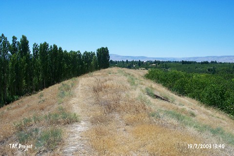
| Geography and Environment: |
| Destruction Details: The mound has been destructed by illicit diggings; agricultural activities and contemporary settlement. It has completely lost is shape. North and south slopes have been cut from end to end due to plant fruit trees. There is a house on west skirt and the skirt in same direction is cut and leveled. There are pits of illicit diggings on the remaining part of the mound [TAYEx 19.7.2003]. |