|
©The Archaeological Settlements of Turkey - TAY Project
|
|
|
|
|
|
Alisar |
|
|
For site maps and drawings please click on the picture...  |
For photographs please click on the photo... 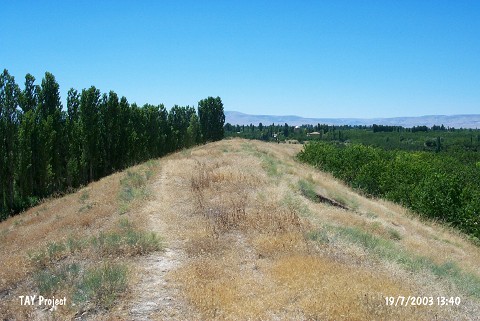 |
|
Type:
|
Mound |
|
Altitude:
|
710 m |
|
Region:
|
Eastern Anatolia |
|
Province:
|
Malatya |
|
District:
|
Battalgazi |
|
Village:
|
Alisar |
|
Investigation Method:
|
Survey |
|
Period:
|
|
|
|
|
 |
|
| It is located southeast of the village called Alisar Deresi or Alisar Mezraa; 14 km north of Malatya Province. North-northeast of the mound is Atatürk Dam reservoir and southwest is Kesifler quarter. The mound is being destructed due to open space for cultivation areas. It was discovered by P. Meriggi and introduced as Alisar Deresi. Sherds in Karaz style were collected from the surface. It is locally known as Yarim Tepe. It takes place in the registered archaeological sites list prepared by Ministry of Culture and Tourism. |
| Location: |
| Geography and Environment: |
| History: |
| Research and Excavation: |
| Stratigraphy: |
| Small Finds: |
| Remains: |
| Interpretation and Dating: |