| ©The Archaeological Settlements of Turkey - TAY Project | ||||||
|
|
||||||
Afsar |
||||||
|
|
||||||
| Ages | Maps | Photos | ||||
| EBA |
 |
 |
||||
|
|
||||||
|
Type:
|
Mound | |||||
|
Altitude:
|
1140 m | |||||
|
Diameter:
|
m- Direction: | |||||
|
|
||||||
|
Region:
|
Aegean | |||||
|
Province:
|
Afyonkarahisar | |||||
|
District:
|
Dinar | |||||
|
Village:
|
Afsar | |||||
|
|
||||||
|
Destruction :
|
Highways, roads, bridges etc. | |||||
|
|
||||||
|
TAYEx:
|
Visited - 4/10/2000 | |||||
|
|
||||||
|
Registration State:
|
For detailed registration information please refer to Turkish pages. | |||||
 |
||||||
| Location: |
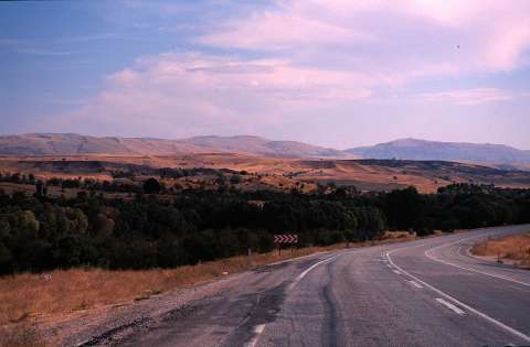
| Geography and Environment: |
| Destruction Details: The extension on the southern part of the mound was cut by the railroad [TAYEx 4.10.2000]. |