|
©The Archaeological Settlements of Turkey - TAY Project
|
|
|
|
|
|
Afsar |
|
|
For site maps and drawings please click on the picture...  |
For photographs please click on the photo... 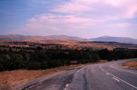 |
|
Type:
|
Mound |
|
Altitude:
|
1140 m |
|
Region:
|
Aegean |
|
Province:
|
Afyonkarahisar |
|
District:
|
Dinar |
|
Village:
|
Afsar |
|
Investigation Method:
|
Survey |
|
Period:
|
EBA II |
|
|
|
 |
|
| It lies to the southeast of the village of Afsar; on the northern end of a small plain where the Lake Karakuyu is located; 15.5 km north of Dinar; 67 km south-southwest of Afyonkarahisar Province. The area is also known as Gavurbaglari Mevkii. The railroad passas from its immediate southeast. It was discovered by J. Mellaart and included in the EBA II settlements. Sherds collected from the settlement were included in the Kusura-Isparta group by J. Mellaart. A single-handled mug; now being exhibited in the Afyon Archaeological Museum (No. E.618); recovered from the vineyard of Afsar Village exposes that the settlement had been inhabited during the EBA. It has a fine straw-tempered paste and it is gray washed. It was not reported if there was any sherds in the same region [Topbas et al. 1998:83]. It is still unknown if the vineyard of Afsar Village is same as Afsar Höyük. |
| Location: |
| Geography and Environment: |
| History: |
| Research and Excavation: |
| Stratigraphy: |
| Small Finds: |
| Remains: |
| Interpretation and Dating: |