| ©The Archaeological Settlements of Turkey - TAY Project | ||||||
|
|
||||||
Alakova Höyük |
||||||
|
|
||||||
| Ages | Maps | Photos | ||||
| EBA |
 |
 |
||||
|
|
||||||
|
Type:
|
Mound | |||||
|
Altitude:
|
1100 m | |||||
|
Diameter:
|
m- Direction: | |||||
|
|
||||||
|
Region:
|
Central Anatolia | |||||
|
Province:
|
Konya | |||||
|
District:
|
Meram | |||||
|
Village:
|
Alakova | |||||
|
|
||||||
|
Destruction :
|
Agriculture - Contemporary Settlements - Attention | |||||
|
|
||||||
|
TAYEx:
|
Visited - 1/8/2004 | |||||
|
|
||||||
|
Registration State:
|
For detailed registration information please refer to Turkish pages. | |||||
 |
||||||
| Location: |
| Geography and Environment: |
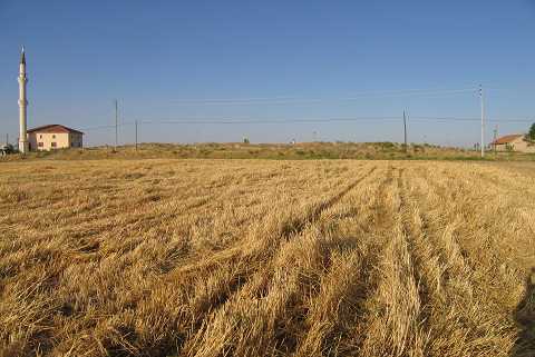
| Destruction Details: The surface of the mound was leveled for agricultural purposes. The west-southwestern slope is cut by an asphalt road and the elevation of the mound is visible on the other side of the road. Houses were built on the southern and eastern sections and a mosque on the northern section [TAYEx 1.8.2004]. |