|
©The Archaeological Settlements of Turkey - TAY Project
|
|
|
|
|
|
Alakova Höyük |
|
|
For site maps and drawings please click on the picture...  |
For photographs please click on the photo... 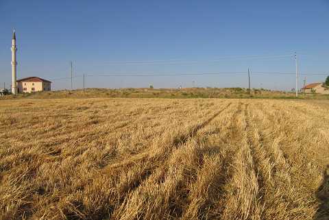 |
|
Type:
|
Mound |
|
Altitude:
|
1100 m |
|
Region:
|
Central Anatolia |
|
Province:
|
Konya |
|
District:
|
Meram |
|
Village:
|
Alakova |
|
Investigation Method:
|
Survey |
|
Period:
|
|
|
|
|
 |
|
| It lies southeast of Alakova village of Meram district of Konya province and Konya-Kavak road crosses it. The mosque of Eshabi Keyf is located on the northern section of the mound. The dimensions of the settlement are 100x100x10 m. It is reported by H. Bahar in his 2002 survey that; there use to be Alakova Han on the mound and now destructed by the mosque on north part and by the house. |
| Location: |
| Geography and Environment: |
| History: |
| Research and Excavation: |
| Stratigraphy: |
| Small Finds: |
| Remains: |
| Interpretation and Dating: |