| ©The Archaeological Settlements of Turkey - TAY Project | ||||||
|
|
||||||
Kortik Tepe |
||||||
|
|
||||||
| Ages | Maps | Photos | ||||
| Palaeolithic/Epipalaeolithic Neolithic |
 |
 |
||||
|
|
||||||
|
Type:
|
Mound | |||||
|
Altitude:
|
500 m | |||||
|
Diameter:
|
m- Direction: | |||||
|
|
||||||
|
Region:
|
Southeastern Anatolia | |||||
|
Province:
|
Diyarbakir | |||||
|
District:
|
Bismil | |||||
|
Village:
|
Agil | |||||
|
|
||||||
|
Destruction :
|
Agriculture | |||||
|
|
||||||
|
TAYEx:
|
Visited - 15/9/2001 | |||||
|
|
||||||
|
Registration State:
|
Registered For detailed registration information please refer to Turkish pages. | |||||
 |
||||||
| Location: The site is located nearby the Agil village and Asagi Sazlik location of Bismil district in Diyarbakir province. It lies between Batman and Bismil; in the area where the Batman Su and Tigris rivers join. It is approximately 14 km southwest of Batman [Özkaya et al. 2002:739]. |
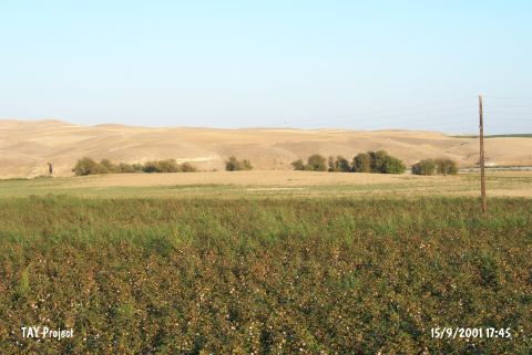
| Geography and Environment: The site covers an area about 50x100 m and being used for agricultural activities today. The settlement of Ziyaret Tepe located to the northeast; is directly connected to Kortik Tepe and represents the later phase of the settlement spreading over a wide area. Asagi Sazlik Mevkii; located to the north of the settlement; is another part of this extent in a similar way [Özkaya et al. 2002:739]. The site has an importance by its close position to the sites of Gre Dimse; Çayönü; Hallan Çemi and Demirköy. |
| Destruction Details: Kortik Tepe is being destructed by agricultural activities [TAYEx 15.9.2001]. Although there is overall destruction on the mound more serious late period destruction was observed during the researches performed in 2006, which is more concentrated on the western section. In addition to the late period destruction on the graves the agriculture work performed on the mound and the erosion cause significant harm [Özkaya et al. 2008:352]. |