| ©The Archaeological Settlements of Turkey - TAY Project | ||||||
|
|
||||||
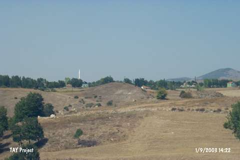
Cin Tepe 1 |
||||||
|
|
||||||
| Ages | Maps | Photos | ||||
| IA |
 |
 |
||||
|
|
||||||
|
Type:
|
Mound | |||||
|
Altitude:
|
840 m | |||||
|
Diameter:
|
170 m- Direction: NE-SW | |||||
|
|
||||||
|
Region:
|
Black Sea | |||||
|
Province:
|
Samsun | |||||
|
District:
|
Havza | |||||
|
Village:
|
Bekdigin | |||||
|
|
||||||
|
Destruction :
|
Illicit Digging - Attention | |||||
|
|
||||||
|
TAYEx:
|
Visited - 1/9/2003 | |||||
|
|
||||||
|
Registration State:
|
Registered For detailed registration information please refer to Turkish pages. | |||||
 |
||||||
| Location: |
| Geography and Environment: |
| Destruction Details: The settlement has been damaged due to cultivation and illicit diggings [TAYEx 1.9.2003]. |