| ©The Archaeological Settlements of Turkey - TAY Project | ||||||
|
|
||||||
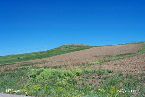
No Name (Köse / Kabaktepe) |
||||||
|
|
||||||
| Ages | Maps | Photos | ||||
| Other/Unknown |
 |
 |
||||
|
|
||||||
|
Type:
|
Mound | |||||
|
Altitude:
|
1690 m | |||||
|
Diameter:
|
78 m- Direction: E-W | |||||
|
|
||||||
|
Region:
|
Black Sea | |||||
|
Province:
|
Gümüshane | |||||
|
District:
|
Köse | |||||
|
Village:
|
Kabaktepe | |||||
|
|
||||||
|
Destruction :
|
Illicit Digging - Agriculture | |||||
|
|
||||||
|
TAYEx:
|
Visited - 25/6/2003 | |||||
|
|
||||||
|
Registration State:
|
For detailed registration information please refer to Turkish pages. | |||||
 |
||||||
| Location: |
| Geography and Environment: |
| Destruction Details: The north-northeastern skirt of the mound has been cut by the fields. Traces of illicit diggings were also observed [TAYEx 25.6.2003]. |