| ©The Archaeological Settlements of Turkey - TAY Project | ||||||
|
|
||||||
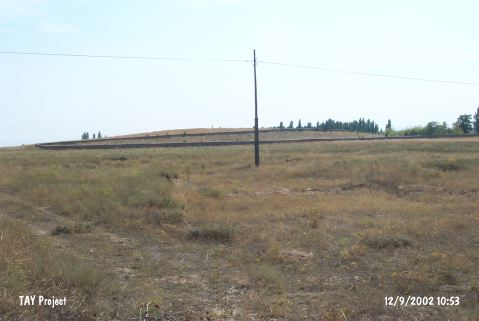
Baglar Höyük |
||||||
|
|
||||||
| Ages | Maps | Photos | ||||
| EBA IA |
 |
 |
||||
|
|
||||||
|
Type:
|
Mound | |||||
|
Altitude:
|
1150 m | |||||
|
Diameter:
|
m- Direction: | |||||
|
|
||||||
|
Region:
|
Central Anatolia | |||||
|
Province:
|
Konya | |||||
|
District:
|
Sarayönü | |||||
|
Village:
|
Konar | |||||
|
|
||||||
|
Destruction :
|
Illicit Digging - Contemporary Settlements - Attention | |||||
|
|
||||||
|
TAYEx:
|
Visited - 12/9/2002 | |||||
|
|
||||||
|
Registration State:
|
Registered For detailed registration information please refer to Turkish pages. | |||||
 |
||||||
| Location: |
| Geography and Environment: |
| Destruction Details: The mound has been damaged due to illicit diggings and contemporary settlement. There are lots of pits on the mound and a cemetery with the walls on northwest slope. Large amount of soil has been taken from southeastern skirt [TAYEx 12.9.2002]. A large pit measuring 2x10 m and a second smaller one next to it was observed [Bahar 2002]. |