|
©The Archaeological Settlements of Turkey - TAY Project
|
|
|
|
|
|
Baglar Höyük |
|
|
For site maps and drawings please click on the picture...  |
For photographs please click on the photo... 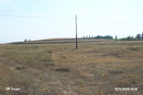 |
|
Type:
|
Mound |
|
Altitude:
|
1150 m |
|
Region:
|
Central Anatolia |
|
Province:
|
Konya |
|
District:
|
Sarayönü |
|
Village:
|
Konar |
|
Investigation Method:
|
Survey |
|
Period:
|
|
|
|
|
 |
|
| It lies 500 m west of the dirt road between Sarayönü and Konar in the Sarayönü District of Konya. It measures 50x50x7 m in dimensions. The surveys conducted in 2000 under the direction of H. Bahar in the Provinces of Konya and Karaman yielded sherds from the EBA, 2nd and 1st Millennia BC. It takes place in the registered archaeological sites list prepared by Ministry of Culture and Tourism. |
| Location: |
| Geography and Environment: |
| History: |
| Research and Excavation: |
| Stratigraphy: |
| Small Finds: |
| Remains: |
| Interpretation and Dating: |