| ©The Archaeological Settlements of Turkey - TAY Project | ||||||
|
|
||||||
No Name (Aksehir / Gözpinar) |
||||||
|
|
||||||
| Ages | Maps | Photos | ||||
| Other/Unknown |
 |
 |
||||
|
|
||||||
|
Type:
|
Mound | |||||
|
Altitude:
|
1060 m | |||||
|
Diameter:
|
m- Direction: | |||||
|
|
||||||
|
Region:
|
Central Anatolia | |||||
|
Province:
|
Konya | |||||
|
District:
|
Aksehir | |||||
|
Village:
|
Gözpinari | |||||
|
|
||||||
|
Destruction :
|
Agriculture | |||||
|
|
||||||
|
TAYEx:
|
Visited - 5/9/2002 | |||||
|
|
||||||
|
Registration State:
|
For detailed registration information please refer to Turkish pages. | |||||
 |
||||||
| Location: |
| Geography and Environment: |
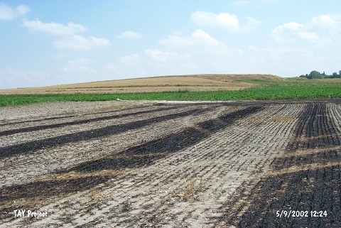
| Destruction Details: The mound has been damaged due to agricultural activities. It is completely planted and its southwest skirt has been cut [TAYEx 5.9.2002]. |