|
©The Archaeological Settlements of Turkey - TAY Project
|
|
|
|
|
|
No Name (Aksehir / Gözpinar) |
|
|
For site maps and drawings please click on the picture...  |
For photographs please click on the photo... 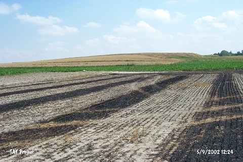 |
|
Type:
|
Mound |
|
Altitude:
|
1060 m |
|
Region:
|
Central Anatolia |
|
Province:
|
Konya |
|
District:
|
Aksehir |
|
Village:
|
Gözpinari |
|
Investigation Method:
|
Survey |
|
Period:
|
|
|
|
|
 |
|
| It lies in Degirmenyani Mevkii; approximately 2.3 km northwest of Gözpinari Village; east of Aksehir District of Konya Province. It had been observed and documented during TAYEx 2002 Central Anatolia region [TAYEx 5.9.2002]. |
| Location: |
| Geography and Environment: |
| History: |
| Research and Excavation: |
| Stratigraphy: |
| Small Finds: |
| Remains: |
| Interpretation and Dating: |