| ©The Archaeological Settlements of Turkey - TAY Project | ||||||
|
|
||||||
No Name (Altinekin / Merkez) |
||||||
|
|
||||||
| Ages | Maps | Photos | ||||
| IA Greek-Roman |
 |
 |
||||
|
|
||||||
|
Type:
|
Mound | |||||
|
Altitude:
|
995 m | |||||
|
Diameter:
|
200 m- Direction: NNE-SSW | |||||
|
|
||||||
|
Region:
|
Central Anatolia | |||||
|
Province:
|
Konya | |||||
|
District:
|
Altinekin | |||||
|
Village:
|
Altinekin | |||||
|
|
||||||
|
Destruction :
|
Contemporary Settlements - Highways, roads, bridges etc. - Attention | |||||
|
|
||||||
|
TAYEx:
|
Visited - 13/9/2002 | |||||
|
|
||||||
|
Registration State:
|
Registered For detailed registration information please refer to Turkish pages. | |||||
 |
||||||
| Location: |
| Geography and Environment: |
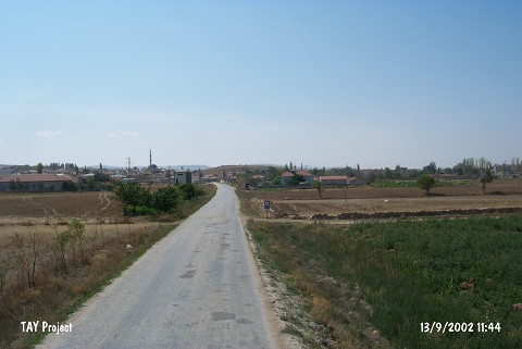
| Destruction Details: The northwestern skirt of the mound has been cut by the motorway and there are houses on it [TAYEx 13.9.2002]. |