| ©The Archaeological Settlements of Turkey - TAY Project | ||||||
|
|
||||||
No Name (Merkez / Akziyaret) |
||||||
|
|
||||||
| Ages | Maps | Photos | ||||
| Other/Unknown |
 |
 |
||||
|
|
||||||
|
Type:
|
Mound | |||||
|
Altitude:
|
610 m | |||||
|
Diameter:
|
m- Direction: | |||||
|
|
||||||
|
Region:
|
Southeastern Anatolia | |||||
|
Province:
|
Sanliurfa | |||||
|
District:
|
Merkez | |||||
|
Village:
|
Akziyaret | |||||
|
|
||||||
|
Destruction :
|
Illicit Digging - Agriculture - Contemporary Settlements | |||||
|
|
||||||
|
TAYEx:
|
Visited - 4/9/2001 | |||||
|
|
||||||
|
Registration State:
|
For detailed registration information please refer to Turkish pages. | |||||
 |
||||||
| Location: |
| Geography and Environment: |
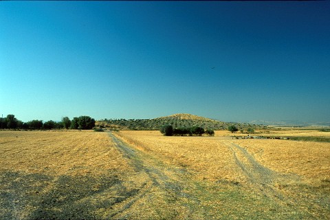
| Destruction Details: There are pits made by illicit diggers on top of the mound; which is surrounded by pistachio groves. Soil taken from its northeast part and a dirt rod crosses its skirt [TAYEx 4.9.2001]. |