| ©The Archaeological Settlements of Turkey - TAY Project | ||||||
|
|
||||||
Leylit / Sahinönü |
||||||
|
|
||||||
| Ages | Maps | Photos | ||||
| Chalcolithic EBA |
 |
 |
||||
|
|
||||||
|
Type:
|
Mound | |||||
|
Altitude:
|
720 m | |||||
|
Diameter:
|
m- Direction: | |||||
|
|
||||||
|
Region:
|
Southeastern Anatolia | |||||
|
Province:
|
Kilis | |||||
|
District:
|
Merkez | |||||
|
Village:
|
Öncüpinar | |||||
|
|
||||||
|
Destruction :
|
Illicit Digging - Contemporary Settlements - Attention | |||||
|
|
||||||
|
TAYEx:
|
Visited - 23/8/2001 | |||||
|
|
||||||
|
Registration State:
|
Registered For detailed registration information please refer to Turkish pages. | |||||
 |
||||||
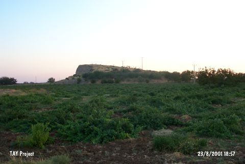
| Location: |
| Geography and Environment: |
| Destruction Details: The mound is destructed by illicit digging and constructing activities. There is a section approximately 30 m in height at the eastern part of the mound; caused by taking soil. The gendarme station on top of the mound is decided removed by the result of the establishment of Ministry of Culture and Tourism [TAYEx 23.8.2001]. |