| ©The Archaeological Settlements of Turkey - TAY Project | ||||||
|
|
||||||
No Name (Suhut / Agzikara) |
||||||
|
|
||||||
| Ages | Maps | Photos | ||||
| Other/Unknown |
 |
 |
||||
|
|
||||||
|
Type:
|
Mound | |||||
|
Altitude:
|
1150 m | |||||
|
Diameter:
|
m- Direction: | |||||
|
|
||||||
|
Region:
|
Aegean | |||||
|
Province:
|
Afyonkarahisar | |||||
|
District:
|
Suhut | |||||
|
Village:
|
Agzikara | |||||
|
|
||||||
|
Destruction :
|
Agriculture | |||||
|
|
||||||
|
TAYEx:
|
Visited - 5/10/2000 | |||||
|
|
||||||
|
Registration State:
|
For detailed registration information please refer to Turkish pages. | |||||
 |
||||||
| Location: |
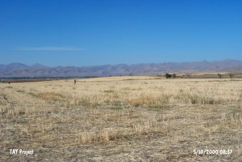
| Geography and Environment: |
| Destruction Details: The site is being damaged due to agricultural activities. There is a terraced part on its slope and a heap of stones on top. It is covered with stubble [TAYEx 5.10.2000]. |