| ©The Archaeological Settlements of Turkey - TAY Project | ||||||
|
|
||||||
Bedre Magarasi |
||||||
|
|
||||||
| Ages | Maps | Photos | ||||
| Other/Unknown |
 |
 |
||||
|
|
||||||
|
Type:
|
Cave | |||||
|
Altitude:
|
84 m | |||||
|
Diameter:
|
m- Direction: | |||||
|
|
||||||
|
Region:
|
Marmara | |||||
|
Province:
|
Kirklareli | |||||
|
District:
|
Merkez | |||||
|
Village:
|
Kayali | |||||
|
|
||||||
|
Destruction :
|
Other - Attention | |||||
|
|
||||||
|
TAYEx:
|
Visited - 12/6/2000 | |||||
|
|
||||||
|
Registration State:
|
Registered For detailed registration information please refer to Turkish pages. | |||||
 |
||||||
| Location: |
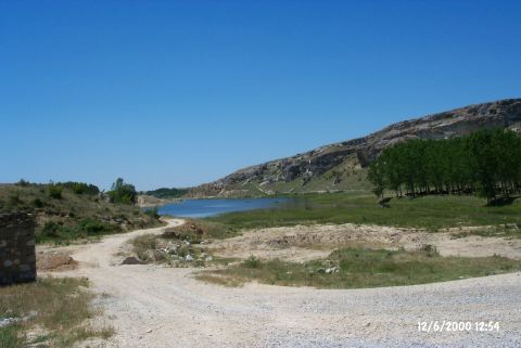
| Geography and Environment: |
| Destruction Details: The cave is being used as a sheepfold. A thin stone wall is built in front of the gallery that extends towards the narrow mouth. The northeastern section of the front gallery is closed with a fence. At the beginning of the back gallery; in the area where the cave becomes narrow; there is another fence made of stones and bushes [TAYEx 12.6.2000]. |