|
©The Archaeological Settlements of Turkey - TAY Project
|
|
|
|
|
|
Bedre Magarasi |
|
|
For site maps and drawings please click on the picture...  |
For photographs please click on the photo... 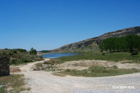 |
|
Type:
|
Cave |
|
Altitude:
|
84 m |
|
Region:
|
Marmara |
|
Province:
|
Kirklareli |
|
District:
|
Merkez |
|
Village:
|
Kayali |
|
Investigation Method:
|
Survey |
|
Period:
|
|
|
|
|
 |
|
| It is in the village of Kayali (Bedre); district of Inece; province of Kirklareli. Tekeköy stream flows to the east of the cave. It is located in the rocky hills on the northwestern benches of the stream. There are stone quarries on the south and southeastern slopes of the stream. To the northeast there is a bridge on the stream. The cave has two mouths facing the south. The small mouth in the south direction is closed with fallen stones. The cave's front gallery is pretty large and it extends towards northwest in the back. It takes place in the registered archaeological sites list prepared by Ministry of Culture and Tourism. |
| Location: |
| Geography and Environment: |
| History: |
| Research and Excavation: |
| Stratigraphy: |
| Small Finds: |
| Remains: |
| Interpretation and Dating: |