| ©The Archaeological Settlements of Turkey - TAY Project | ||||||
|
|
||||||
Basantepe |
||||||
|
|
||||||
| Ages | Maps | Photos | ||||
| EBA |
 |
 |
||||
|
|
||||||
|
Type:
|
Mound | |||||
|
Altitude:
|
40 m | |||||
|
Diameter:
|
250 m- Direction: N-S | |||||
|
|
||||||
|
Region:
|
Aegean | |||||
|
Province:
|
Izmir | |||||
|
District:
|
Dikili | |||||
|
Village:
|
Islamlar | |||||
|
|
||||||
|
Destruction :
|
Agriculture | |||||
|
|
||||||
|
TAYEx:
|
Visited - 7/9/2000 | |||||
|
|
||||||
|
Registration State:
|
For detailed registration information please refer to Turkish pages. | |||||
 |
||||||
| Location: |
| Geography and Environment: |
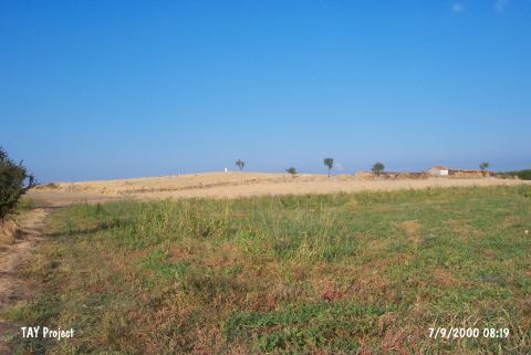
| Destruction Details: The surface of the mound is being used for agricultural activities. Its northeastern section has been leveled. On the northern skirt is a small house belonging to the landowner [TAYEx 7.9.2000]. There are olive groves on the northwest and west sides of the mound. A lamppost is erected on the top of the mound (Contribution: Taylan Köken: 10.12.2013). |