|
©The Archaeological Settlements of Turkey - TAY Project
|
|
|
|
|
|
Basantepe |
|
|
For site maps and drawings please click on the picture...  |
For photographs please click on the photo... 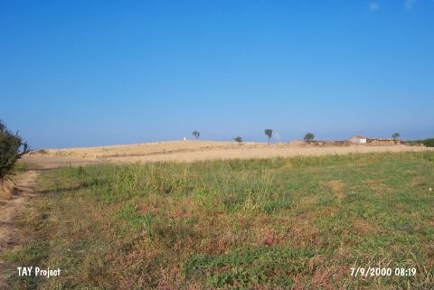 |
|
Type:
|
Mound |
|
Altitude:
|
40 m |
|
Region:
|
Aegean |
|
Province:
|
Izmir |
|
District:
|
Dikili |
|
Village:
|
Islamlar |
|
Investigation Method:
|
Survey |
|
Period:
|
|
|
|
|
 |
|
| It lies 150 m west of the Ayvalik-Bergama motorway; 2.5 km northeast of Dikili District; north of Izmir Province. It measures 1.5 m in height and ca. 70x70 m in dimensions. Kocadere Stream flows behind the fields to the west. The mound is locally known as Gazantepe. It was discovered during a survey conducted by J. Driehaus in 1955. Remains of a tower dating to the Hellenistic Period rise on the top hill. Pottery of the Hellenistic Period; the second millennium BC and limited number of EBA pottery were collected from the surface. Sherds similar to the EBA pottery recovered from Troy I and Thermi were uncovered. Also found is a broken stone axe of which the age is uncertain. |
| Location: |
| Geography and Environment: |
| History: |
| Research and Excavation: |
| Stratigraphy: |
| Small Finds: |
| Remains: |
| Interpretation and Dating: |