| ©The Archaeological Settlements of Turkey - TAY Project | ||||||
|
|
||||||
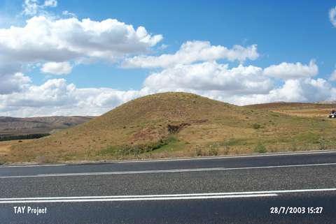
Hünugu Tepesi |
||||||
|
|
||||||
| Ages | Maps | Photos | ||||
| Chalcolithic |
 |
 |
||||
|
|
||||||
|
Type:
|
Mound | |||||
|
Altitude:
|
1380 m | |||||
|
Diameter:
|
m- Direction: | |||||
|
|
||||||
|
Region:
|
Central Anatolia | |||||
|
Province:
|
Sivas | |||||
|
District:
|
Merkez | |||||
|
Village:
|
Koyuncu | |||||
|
|
||||||
|
Destruction :
|
Illicit Digging - Agriculture | |||||
|
|
||||||
|
TAYEx:
|
Visited - 28/7/2003 | |||||
|
|
||||||
|
Registration State:
|
For detailed registration information please refer to Turkish pages. | |||||
 |
||||||
| Location: |
| Geography and Environment: |
| Destruction Details: The mound is being damaged by agricultural activities and illicit diggings. There are pits on south and west slopes and eastern skirt is planted [TAYEx 28.7.2003]. |