| ©The Archaeological Settlements of Turkey - TAY Project | ||||||
|
|
||||||
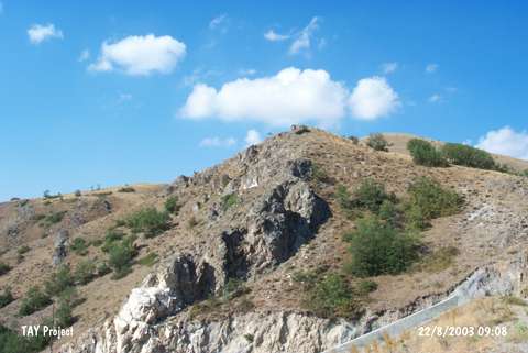
Hidirlik - Akkaya Tepesi |
||||||
|
|
||||||
| Ages | Maps | Photos | ||||
| EBA IA |
 |
 |
||||
|
|
||||||
|
Type:
|
Upland Settlement | |||||
|
Altitude:
|
925 m | |||||
|
Diameter:
|
m- Direction: | |||||
|
|
||||||
|
Region:
|
Black Sea | |||||
|
Province:
|
Amasya | |||||
|
District:
|
Merzifon | |||||
|
Village:
|
Hirka | |||||
|
|
||||||
|
Destruction :
|
Illicit Digging - Attention | |||||
|
|
||||||
|
TAYEx:
|
Visited - 22/8/2003 | |||||
|
|
||||||
|
Registration State:
|
For detailed registration information please refer to Turkish pages. | |||||
 |
||||||
| Location: |
| Geography and Environment: |
| Destruction Details: The site is being damaged to natural causes and illicit diggings. Its west-northwestern slopes are worn out by erosion. Illicit pits were observed on the upper part and more abundantly towards east [TAYEx 22.8.2003]. |