| ©The Archaeological Settlements of Turkey - TAY Project | ||||||
|
|
||||||
Destimelik |
||||||
|
|
||||||
| Ages | Maps | Photos | ||||
| EBA |
 |
 |
||||
|
|
||||||
|
Type:
|
Upland Settlement | |||||
|
Altitude:
|
1050 m | |||||
|
Diameter:
|
m- Direction: | |||||
|
|
||||||
|
Region:
|
Black Sea | |||||
|
Province:
|
Tokat | |||||
|
District:
|
Zile | |||||
|
Village:
|
Güzelbeyli | |||||
|
|
||||||
|
Destruction :
|
Contemporary Settlements - Highways, roads, bridges etc. - Attention | |||||
|
|
||||||
|
TAYEx:
|
Visited - 10/8/2003 | |||||
|
|
||||||
|
Registration State:
|
For detailed registration information please refer to Turkish pages. | |||||
 |
||||||
| Location: |
| Geography and Environment: |
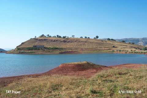
| Destruction Details: The site is being damaged by contemporary settlement. There is house on eastern part; cemetery on northern slope and a road to the top hill. There are pits on southeast slope [TAYEx 10.8.2003]. |