| ©The Archaeological Settlements of Turkey - TAY Project | ||||||
|
|
||||||
Zincirlikuyu / Medetli |
||||||
|
|
||||||
| Ages | Maps | Photos | ||||
| EBA IA |
 |
 |
||||
|
|
||||||
|
Type:
|
Mound | |||||
|
Altitude:
|
240 m | |||||
|
Diameter:
|
m- Direction: | |||||
|
|
||||||
|
Region:
|
Marmara | |||||
|
Province:
|
Bilecik | |||||
|
District:
|
Gölpazari | |||||
|
Village:
|
Üyük | |||||
|
|
||||||
|
Destruction :
|
Agriculture - Contemporary Settlements - Highways, roads, bridges etc. - Illicit Digging - Attention | |||||
|
|
||||||
|
TAYEx:
|
Visited - 14/7/2000 | |||||
|
|
||||||
|
Registration State:
|
For detailed registration information please refer to Turkish pages. | |||||
 |
||||||
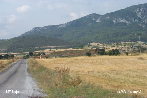
| Location: |
| Geography and Environment: |
| Destruction Details: Although the site is registered by the museum; it has been severely damaged due to the works of DSI in this area. A cement wall was built on the northern side and pebble stones were piled next to it. Earth was removed from some areas; the upper part is partially leveled. On the western section; there is a road that runs to the top of the hill [TAYEx 14.7.2000]. The north section of the mound has been truncated and an illicit digging pit was found in the southern section [Efe et al. 2015:500]. |