|
©The Archaeological Settlements of Turkey - TAY Project
|
|
|
|
|
|
Zincirlikuyu / Medetli |
|
|
For site maps and drawings please click on the picture...  |
For photographs please click on the photo... 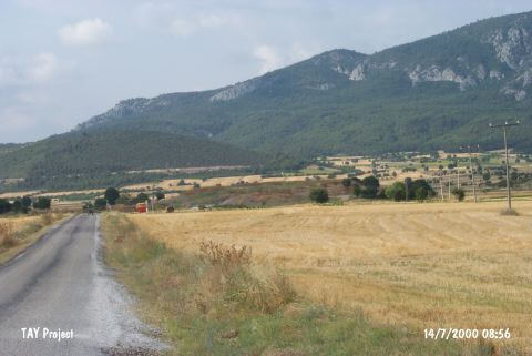 |
|
Type:
|
Mound |
|
Altitude:
|
240 m |
|
Region:
|
Marmara |
|
Province:
|
Bilecik |
|
District:
|
Gölpazari |
|
Village:
|
Üyük |
|
Investigation Method:
|
Survey |
|
Period:
|
|
|
|
|
 |
|
| It is situated 4 km east from Vezirhan, 1.5 km north from the Vezirhan-Gölpazari motorway to the immediate west of the road to the Üyük village. It was introduced by K. Kökten as Zincirlikuyu, however it was registered as Medetli Hüyük by the Eskisehir Museum. During the survey conducted in the region by T. Efe in 1990, it was observed that the western section of the mound has been seriously destroyed and based on the testimony of a villager, pebbles were dumped over the mound by DSI. Thus, the actual dimensions of the mound could not be obtained. The limited number of material that were collected are dated to the EBA III, and the Classic Period. It was visited during the survey conducted by T. Efe in 2013. In Efe's report, it was mentioned as Üyük. The mound is 9.5 m high from the plain. The fields in the east yielded EBA II and III wares. Potsherds belonging to the 2nd millennium BC were found in the fields in the south and east [Efe et al. 2015:500]. |
| Location: |
| Geography and Environment: |
| History: |
| Research and Excavation: |
| Stratigraphy: |
| Small Finds: |
| Remains: |
| Interpretation and Dating: |