| ©The Archaeological Settlements of Turkey - TAY Project | ||||||
|
|
||||||
Yukari Maltepe Höyük |
||||||
|
|
||||||
| Ages | Maps | Photos | ||||
| EBA |
 |
 |
||||
|
|
||||||
|
Type:
|
Mound | |||||
|
Altitude:
|
775 m | |||||
|
Diameter:
|
m- Direction: | |||||
|
|
||||||
|
Region:
|
Central Anatolia | |||||
|
Province:
|
Çorum | |||||
|
District:
|
Iskilip | |||||
|
Village:
|
Veletler | |||||
|
|
||||||
|
Destruction :
|
Agriculture - Contemporary Settlements - Highways, roads, bridges etc. - Attention | |||||
|
|
||||||
|
TAYEx:
|
Visited - 17/7/2002 | |||||
|
|
||||||
|
Registration State:
|
For detailed registration information please refer to Turkish pages. | |||||
 |
||||||
| Location: |
| Geography and Environment: |
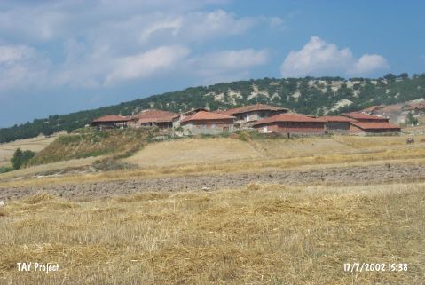
| Destruction Details: There are houses on the mound; western skirt has been cut by a dirt road and southern skirt has been cultivated [TAYEx 17.7.2002]. |