| ©The Archaeological Settlements of Turkey - TAY Project | ||||||
|
|
||||||
Bakimli Köyü |
||||||
|
|
||||||
| Ages | Maps | Photos | ||||
| EBA |
 |
 |
||||
|
|
||||||
|
Type:
|
Workshop | |||||
|
Altitude:
|
1300 m | |||||
|
Diameter:
|
m- Direction: | |||||
|
|
||||||
|
Region:
|
Black Sea | |||||
|
Province:
|
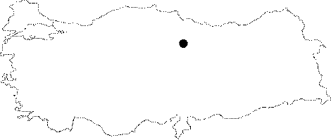
Tokat | |||||
|
District:
|
Almus | |||||
|
Village:
|
Bakimli | |||||
|
|
||||||
|
|
||||||
|
|
||||||
|
TAYEx:
|
Not visited - 9/8/2003 | |||||
|
|
||||||
|
Registration State:
|
For detailed registration information please refer to Turkish pages. | |||||
 |
||||||
| Location: It lies 1 km northwest of the Bakimli (Mamo) Village; west of the Almus District; northeast of the Tokat Province. The year the survey was conducted; this field was owned by A. Karaca. |
| Geography and Environment: The slags originating from the melting of the copper ore looks like a small flat hill. |
| Destruction Details: |