| ©The Archaeological Settlements of Turkey - TAY Project | ||||||
|
|
||||||
Yoncali |
||||||
|
|
||||||
| Ages | Maps | Photos | ||||
| EBA |
 |
 |
||||
|
|
||||||
|
Type:
|
Mound | |||||
|
Altitude:
|
1260 m | |||||
|
Diameter:
|
100 m- Direction: E-W | |||||
|
|
||||||
|
Region:
|
Central Anatolia | |||||
|
Province:
|
Nevsehir | |||||
|
District:
|
Acigöl | |||||
|
Village:
|
Agilli | |||||
|
|
||||||
|
Destruction :
|
Illicit Digging - Agriculture | |||||
|
|
||||||
|
TAYEx:
|
Visited - 5/8/2002 | |||||
|
|
||||||
|
Registration State:
|
For detailed registration information please refer to Turkish pages. | |||||
 |
||||||
| Location: |
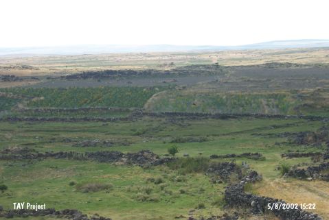
| Geography and Environment: |
| Destruction Details: The mound has been damaged due to agricultural activities and illicit diggings. It has been leveled and turned into a field. There is a pit measuring 2 m wide and 1 m deep at the northern part [TAYEx 5.8.2002]. |