|
©The Archaeological Settlements of Turkey - TAY Project
|
|
|
|
|
|
Yoncali |
|
|
For site maps and drawings please click on the picture...  |
For photographs please click on the photo... 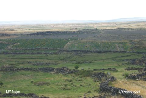 |
|
Type:
|
Mound |
|
Altitude:
|
1260 m |
|
Region:
|
Central Anatolia |
|
Province:
|
Nevsehir |
|
District:
|
Acigöl |
|
Village:
|
Agilli |
|
Investigation Method:
|
Survey |
|
Period:
|
|
|
|
|
 |
|
| The site lies approximately 3 km west of Agilli Village; south of Acigöl District of Nevsehir Province. 150 m east of the site stands Agilli Höyük. It was discovered by D. French and dated to EBA. |
| Location: |
| Geography and Environment: |
| History: |
| Research and Excavation: |
| Stratigraphy: |
| Small Finds: |
| Remains: |
| Interpretation and Dating: |