| ©The Archaeological Settlements of Turkey - TAY Project | ||||||
|
|
||||||
Bahri |
||||||
|
|
||||||
| Ages | Maps | Photos | ||||
| EBA |
 |
 |
||||
|
|
||||||
|
Type:
|
Mound | |||||
|
Altitude:
|
780 m | |||||
|
Diameter:
|
90 m- Direction: N-S | |||||
|
|
||||||
|
Region:
|
Eastern Anatolia | |||||
|
Province:
|
Malatya | |||||
|
District:
|
Merkez | |||||
|
Village:
|
Erenli | |||||
|
|
||||||
|
Destruction :
|
Illicit Digging - Attention | |||||
|
|
||||||
|
TAYEx:
|
Visited - 21/7/2003 | |||||
|
|
||||||
|
Registration State:
|
For detailed registration information please refer to Turkish pages. | |||||
 |
||||||
| Location: |
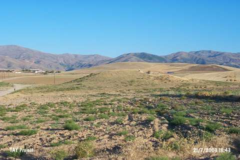
| Geography and Environment: |
| Destruction Details: The mound has been damaged by illicit diggings. There are pit on top hill and one them extends towards western slope. The east-southeast skirt has been cut [TAYEx 21.7.2003]. |