|
©The Archaeological Settlements of Turkey - TAY Project
|
|
|
|
|
|
Bahri |
|
|
For site maps and drawings please click on the picture...  |
For photographs please click on the photo... 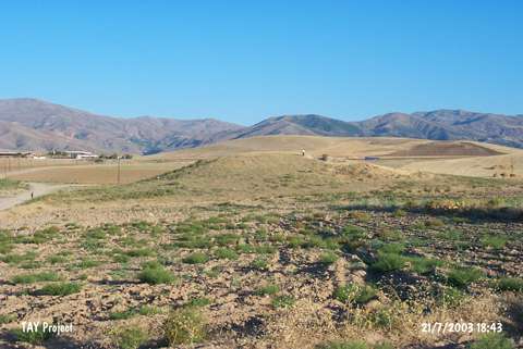 |
|
Type:
|
Mound |
|
Altitude:
|
780 m |
|
Region:
|
Eastern Anatolia |
|
Province:
|
Malatya |
|
District:
|
Merkez |
|
Village:
|
Erenli |
|
Investigation Method:
|
Survey |
|
Period:
|
|
|
|
|
 |
|
| It lies in the vicinity of Erenli (Bahri) Village; northeast of Çolakli Sub-district of Malatya. It is located 500 m north of the gas station on the 2.7th km from the Erenli junction on Malatya-Kale motorway. The mound surrounded by fields was discovered by P. Meriggi and dated to EBA. |
| Location: |
| Geography and Environment: |
| History: |
| Research and Excavation: |
| Stratigraphy: |
| Small Finds: |
| Remains: |
| Interpretation and Dating: |