| ©The Archaeological Settlements of Turkey - TAY Project | ||||||
|
|
||||||
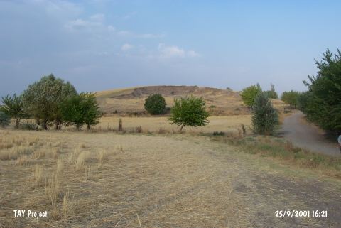
Yassi Höyük |
||||||
|
|
||||||
| Ages | Maps | Photos | ||||
| Chalcolithic |
 |
 |
||||
|
|
||||||
|
Type:
|
Mound | |||||
|
Altitude:
|
500 m | |||||
|
Diameter:
|
m- Direction: | |||||
|
|
||||||
|
Region:
|
Southeastern Anatolia | |||||
|
Province:
|
Adiyaman | |||||
|
District:
|
Merkez | |||||
|
Village:
|
Karahöyük | |||||
|
|
||||||
|
Destruction :
|
Agriculture - Contemporary Settlements | |||||
|
|
||||||
|
TAYEx:
|
Visited - 25/9/2001 | |||||
|
|
||||||
|
Registration State:
|
Registered For detailed registration information please refer to Turkish pages. | |||||
 |
||||||
| Location: |
| Geography and Environment: |
| Destruction Details: The site of Yassi Höyük is damaged by agricultural and constructing activities. The whole southeast portion of the mound is cut for taking soil. The upper surface is planted and also there are leveled areas at the eastern and northern slopes [TAYEx 25.9.2001]. It was observed that the mound was fenced [Ezer et al. 2015:178]. |