| ©The Archaeological Settlements of Turkey - TAY Project | ||||||
|
|
||||||
Viransehir / Soli (Soloi) Pompeiopolis |
||||||
|
|
||||||
| Ages | Maps | Photos | ||||
| Chalcolithic EBA IA |
 |
 |
||||
|
|
||||||
|
Type:
|
Mound | |||||
|
Altitude:
|
160 m | |||||
|
Diameter:
|
m- Direction: | |||||
|
|
||||||
|
Region:
|
Mediterranean | |||||
|
Province:
|
Mersin | |||||
|
District:
|
Mezitli | |||||
|
Village:
|
Viransehir | |||||
|
|
||||||
|
|
||||||
|
|
||||||
|
TAYEx:
|
Visited - 13/7/2001 | |||||
|
|
||||||
|
Registration State:
|
Registered For detailed registration information please refer to Turkish pages. | |||||
 |
||||||
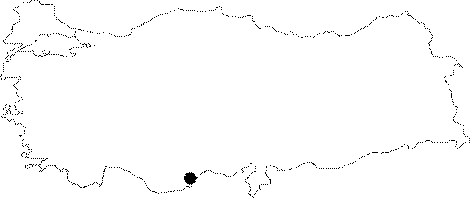
| Location: It is located in the ancient city of Soloi (Soli) Pompeiopolis; Viransehir at present; on the Mediterranean coast; 11 km southwest of the Mersin Province. |
| Geography and Environment: It was named after the ancient city it was located. Soloi/Soli means sun. The mound measures 7 m in height and 30 m in diameter. The latest publication of the excavations started again in the ancient city of Soli/Pompeiopolis refers to the dimensions as 22 m in height and 300 m in diameter. |
| Destruction Details: |